Conservation Lands

12 managed conservation areas are located along the Florida Black Bear Scenic Byway, including four Wilderness Areas within the Ocala National Forest. These lands range from the 1,444-acre Barberville Mitigation Bank to the 389,000-acre Ocala National Forest. These lands total nearly 500,000 acres and provide a continuous corridor for wildlife across the entire Florida Black Bear Scenic Byway corridor.
We highlight conservation lands that are accessible to visitors here.
Caravelle Ranch WMA
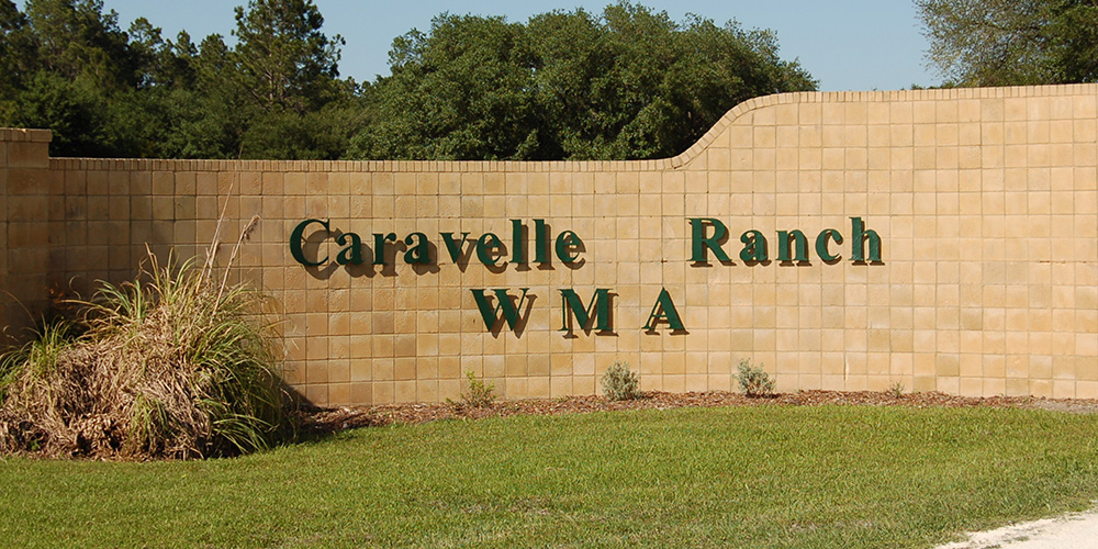
The Florida Fish and Wildlife Conservation Commission manages the 13,383-acre Caravelle Ranch Wildlife Management Area. It is located between the Ocklawaha and St. Johns Rivers in the northern portion of the Byway Corridor. The Management Area fronts about three miles of the North 19 Spur.
Nestled between the Ocklawaha and St. Johns rivers is the 27,241-acre Caravelle Ranch Wildlife Management Area with hardwood river swamps, pine flatwoods, and improved pastures punctuated with small depression ponds and hardwood hammocks. On Caravelle, you can participate in special opportunity dove hunts, supervised youth small game hunts, and quota hunts for deer and feral hogs. Horses are welcome, and ample space is available for parking trailers.
Fishing is excellent on Camp Branch Creek, and opportunities abound for birders, especially in the spring when as many as 15 swallow-tailed kites may be circling the pastures. The St. Johns River Water Management District, the Department of Environmental Protection, and the Office of Greenways and Trails administer portions of the area.
Heart Island Conservation Area
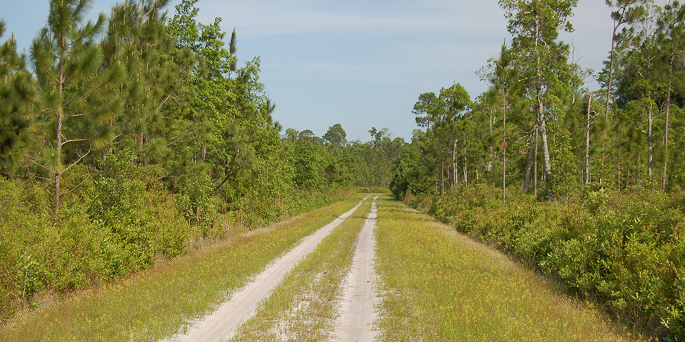
St. Johns River Water Management acquired this property in 1994 with Preservation 2000 funds to protect water resources. The property had undergone extensive clear-cutting for the timber resources at the time it was purchased. St. Johns River Water Management has focused on planting longleaf pine to restore the area’s native plant community.
In July 1998, wildfires burned more than 4,000 acres. The District is working to replant vegetation devastated by the wildfires. This conservation area is part of the 35,380-acre Lake George Wildlife Management Area.
Lake George State Forest
The Bluffton Mound and Midden at the Bluffton Recreation Area illustrate the rich archaeological history of the St. Johns River and Lake George area. For thousands of years, early Florida Indians inhabited the area. Explorers of the 18th and 19th centuries first noticed the large mounds of freshwater shellfish created by the Indians.
Later, the shell mounds attracted some of Florida’s earliest archaeologists. Few mounds exist today as most were excavated for material to build roads. Past uses of Lake George State Forest include timber management, naval stores production, grazing and hunting. Before 1910, logging canals were dug through the swamps to remove cypress logs. In the 1930s, much of the area was forested in longleaf pine and slash pine and used for cattle grazing. In the 1960s, slash pine was planted as previous owners had aggressively harvested the forest.
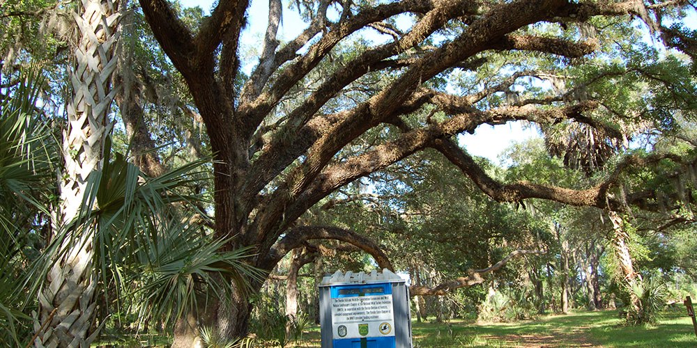
Lake George State Forest is one of several publicly-owned tracts of land encircling Lake George, the second-largest lake in Florida. The St. Johns River borders 3 1/2 miles of the forest and provides a wealth of ecologically valuable communities and river-based recreation. The surrounding landscape of the forest contributes to water resource protection of the Lake George watershed and aquifer recharge. Lake George State Forest is also part of an extensive wildlife corridor that provides habitat and roaming areas vital to the survival of the Florida black bear population.
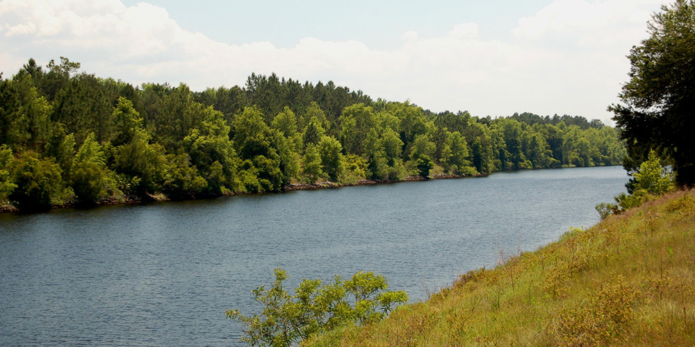
Marjorie Harris Carr Cross Florida Greenway
Gainesville bass anglers find the 50-mile trip to Florida’s Rodman Reservoir easy, especially now that the bad cold spells have passed and the bass are beginning their annual pre-spawn rituals. With the water temperatures now in the upper ’50s and lower ’60s, the fish are moving from deep protected channels onto the hundreds of acres of 3 to 6-foot flats to prepare their nesting beds. These ‘bedding’ fish are easily caught by accomplished and amateur anglers.
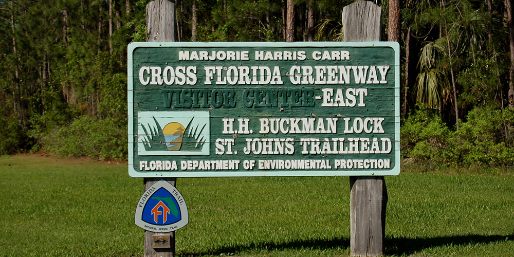
Rodman Pool is the dammed-up section of the Ocklawaha River that eventually leads into the St. John’s River through the now-defunct Cross Florida Barge Canal. Two working locks allow boat passage into the St. John’s near Welaka, north of Palatka, but their primary use is to prevent backflow into the spring-fed Ocklawaha. The best boat ramp is at the western mouth of the canal, is part of the Marjorie Harris Carr Cross Florida Greenway.
Ocala National Forest
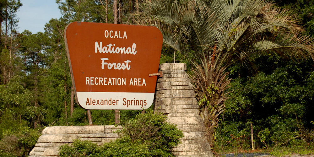
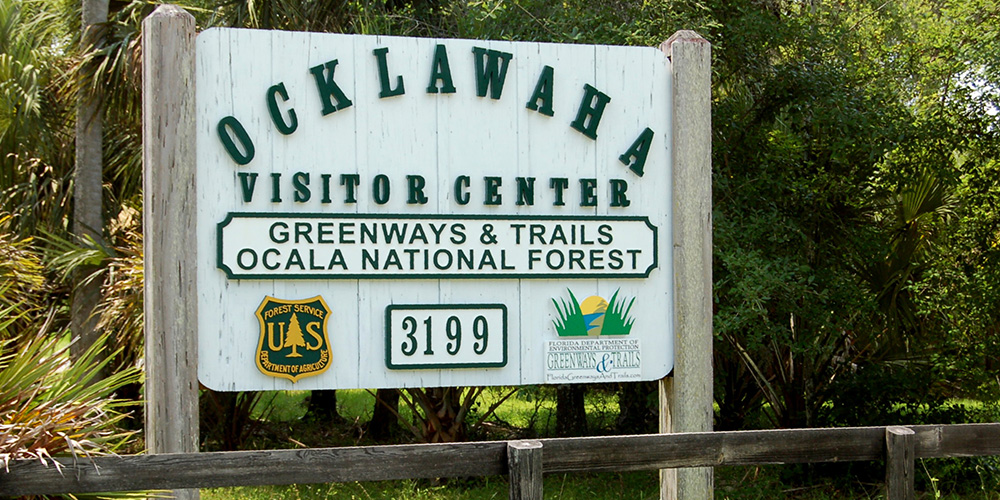
The Ocala National Forest is the central feature of the Florida Black Bear Scenic Byway. The forest comprises approximately 389,000 acres and fronts about 169 miles of the Byway. This represents more than half of the Byway’s 289 miles of road frontage.
The Forest was established in 1908, making it the oldest National Forest east of the Mississippi River. It is also the southernmost National forest in the continental U.S. The forest is bounded on the north and west by the Ocklawaha River and the Cross Florida Greenway, and on the north and east by the St. Johns River and the 46,000-acre Lake George, the second largest lake in Florida. The St. Johns River is designated an American Heritage River. The Ocklawaha is designated an Outstanding Florida Water.
The Ocala National Forest contains the world’s largest sand pine scrub, an increasingly rare natural community home to plants and animals found nowhere else on Earth. These plants and animals have adapted to the near desert like conditions found in the scrub, conditions brought about by the nutrient poor soils that allow rainwater to rapidly percolate out of reach of plant roots. The scrub depends upon fires occurring at 20- to 80-year intervals to maintain its ecology.
A GIS analysis of the Florida Vegetation and Land Cover data set produced by the Florida Fish and Wildlife Conservation Commission in 2003 produces some startling facts concerning the importance of the Ocala National Forest. Two of the most endangered natural communities in the United States are Sand Pine Scrub and Xeric oak Scrub. According to the FFWCC data set, the Ocala National Forest contains 72% of the state’s Sand Pine Scrub and 43% of the state’s Xeric Oak Scrub. The Sand Pine Scrub is fire-dependent; the forest requires periodic burning for the renewal of the natural community.
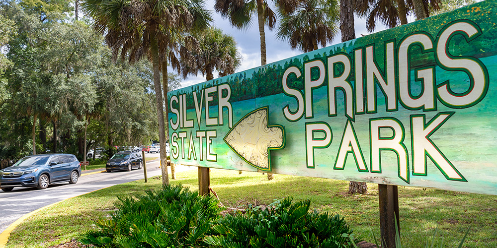
Silver Springs State Park
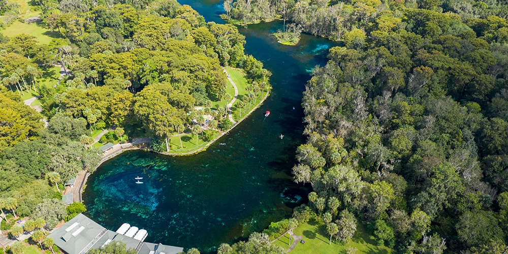
This park features one of America’s largest springs, featuring historic glass-bottom boats which have been popular since the early steamboat era, a site for famous films like The Creature from the Black Lagoon and television shows like Sea Quest.
- More than 30 springs are documented in the upper part of the Silver River, and Mammoth Spring is the largest one, which visitors can glimpse on the glass-bottom boat tours.
- The park hosts the annual SpringFest celebrating protection and restoration of all Florida springs and waterways.
- The Silver River flows through the forest wilderness, providing a wonderful paddling adventure and great stops for camping.
At the western terminus of the Florida Black Bear Scenic Byway are the Silver River Museum and a Cracker Village, now part of Silver Springs State Park (That area used to be known as Silver River State Park before part of it was integrated when Silver Springs became a state park.
Tiger Bay State Forest
Tiger Bay State Forest consists of large swamp areas with embedded pine islands and a large pine ridge area. The purchase of this forest began in 1977 under the Environmentally Endangered Lands Program, with additional acquisitions made in 1994 and 1998.
Tiger Bay State Forest is located among several publicly owned lands which create wildlife corridors for species listed as endangered, threatened or of special concern. Roaming habitat is available for the Florida black bear and is a potential nesting and foraging area for the bald eagle.
